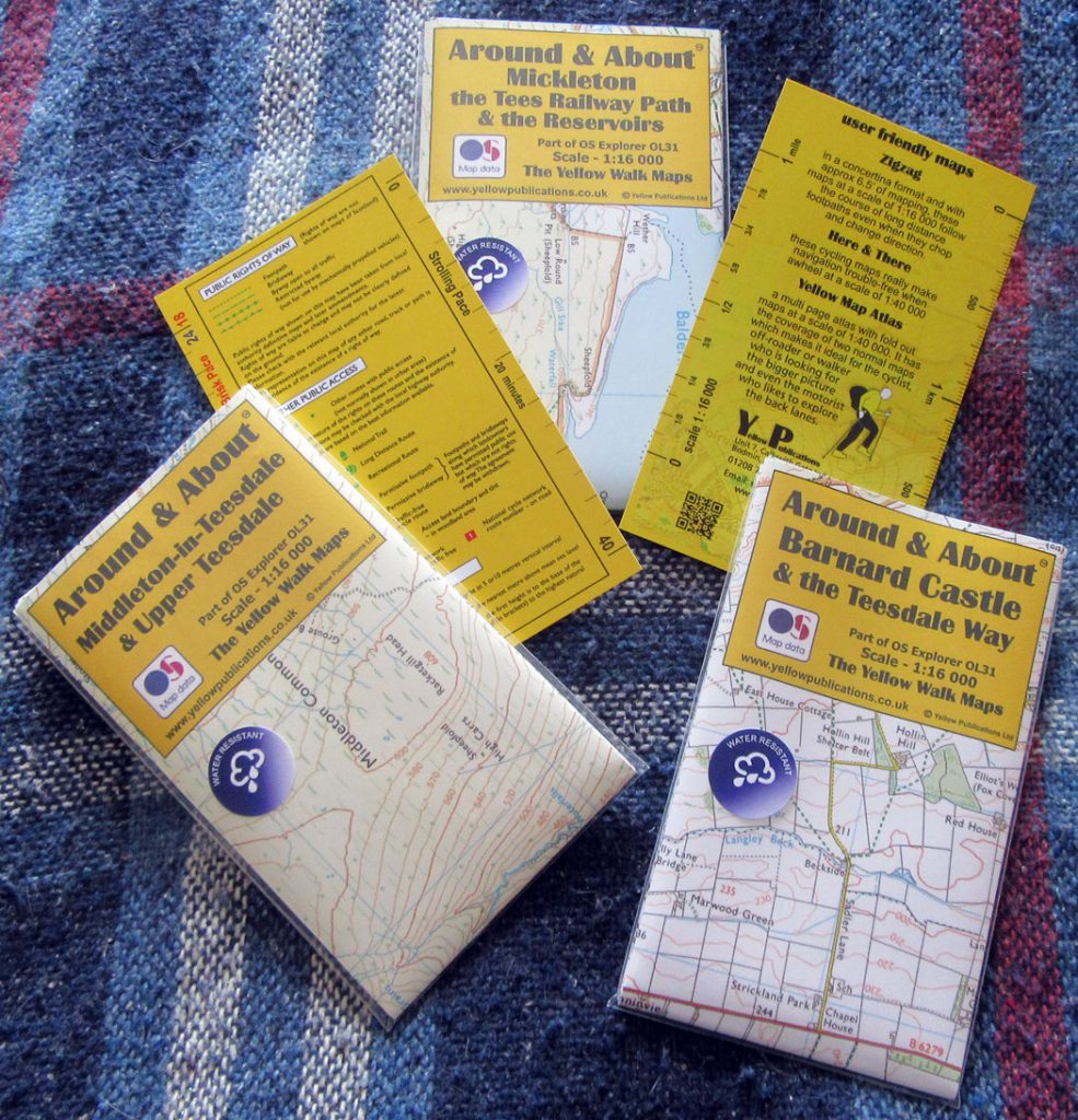
Maps for Upper Teesdale
Visitors to the Dale are advised to use the Ordnance Survey’s Explorer series map OL31 but can now use three “Yellow Around and About” maps which are 1:16 000 scale maps based on 0L31 and tailored to our area: Mickleton the Reservoirs and The Railway Line, Upper Teesdale and Middleton-in-Teesdale, and Barnard Castle and the Teesdale Way. They are available from the Tourist Information Centre in Middleton and from Bowlees Visitor Centre as well as several other outlets in the area. Costing £3.99 the “concertina” style Yellow maps are printed on water resistant paper and come in a handy wallet with a useful insert printed with a key and aids for walkers. All three of these maps relate to the Walk Through Time project.


