Maps for Upper Teesdale
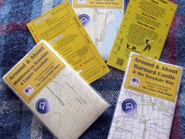
Visitors to the Dale are advised to use the Ordnance Survey’s Explorer series map OL31 but can now use three “Yellow Around and About” maps which are 1:16 000 scale maps based on 0L31 and tailored to our area: Mickleton
read more...
